 Things are greening on The Quarry Farm now. Dutchman’s Breeches have bloomed and gone above the “Cut-off” oxbow, shaded by the oldest trees on the nature preserve. The farm animal sanctuary residents trim new leaves and grass while outside the fences the grass grows and grows. Much of this spring so far has been wet and cool to cold. Arthur the Rooster stands in an alcove of the front porch, glowering at the wall with his spiking wet ruff raised around his feathered ears. On rare sunny days the roosters crow and the pigs stretch out, bellies hitched high for maximum exposure to warmth.
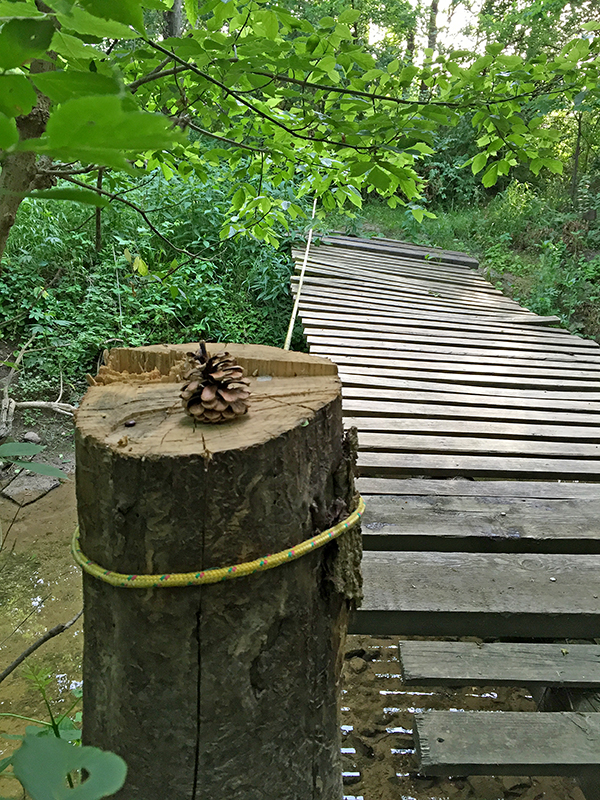
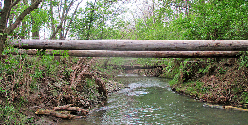
 The floodplain has been awash with the merging of Cranberry Creek and Riley Creek as floodwaters ebb and flow, from April now into May. The footbridge, so beautifully engineered by David Seitz, is still with us; the longest-surviving passage from west to east banks over the Cranberry. David watches it rise and fall from internet feeds, using stretched cords to monitor where it settles when the water drops. A new bridge project is underway several meters upstream of the old one. David is at the helm; more news on this to come. But I’ll take this May moment to catch up on April.
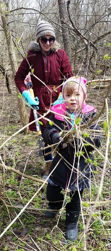
Before April showers changed from gentle mist to a series of gully washers, Girl Scout Service Unit 221 from Ada and Kenton spent the better part of April 13 cutting bush honeysuckle. They needed 70 potential hiking staffs to carry home. They tackled the ridge and bottom on the east edge of the stone quarry wetland, lopping their way through one of the densest growths of this confounded invasive woody plant. As well as making way for shagbark hickory and swamp white oak seedlings, they helped us release a woodduck drake who had flown down the Red Fox Cabin chimney.
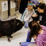
 The following Friday was rainy and windy—just the perfect sort of day for Sophie the Potbelly to go for a car ride. She didn’t think much of the idea; she never does until she is in the back seat and the car is rolling. Sophie, Tyree the Cornsnake and Gerald the Rooster were invited to attend Spring Break Day Camp at the Girl Scout Camp in Lima. Once there, I parked outside Rose Marie Duffy Lodge, leaving the car door open while I carried Tyree and Gerald into the conference room. I heard laughter behind me and turned to see Sophie marching up the Lodge steps, ready to greet her newest fans and to accept accolades as only stars of her caliber receive. She hoovered up the spoils of a snack break while I shared why we do what we do here with those that share this Back 50.
Thanks to Katlin Shuherk for sharing her photos.